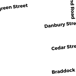
43 LOCUST ST
Owner Information
HENSINGER GEORGE A
26 ROWAN ST
NORWALK, CT 06855


Property Details
43 LOCUST ST is classified as a Single Family Residential (Ranch).
The primary structure on this property was built in 1955. There are 648ft2 of built area within this property. There is 600ft2 of residential/living space within this property.
43 LOCUST ST is valued at $207,300. The land is valued at $116,100 and the structures are valued at $91,200.
The most recent deed for 43 LOCUST ST is recorded at the local registrar in Book 11850, Page 216. 43 LOCUST ST was last sold on Wednesday, November 18, 1998 for $87,000.
Assessment data from fiscal year 2022.
Flood Data
According to the FEMA National Flood Hazard Layer, this property does not appear to be in a flood zone. It may also be in an area not yet reviewed. Nonetheless, confirm this information prior to taking any action.
To view the flood hazards around this property, create a FEMA "Firmette" Map of the area around 43 LOCUST ST.
Broadband Internet Providers
| Provider | Type | Bandwidth (mbps) | |
|---|---|---|---|
| VSAT Systems, LLC. | Satellite | 2 | 1 |
| Viasat Inc | Satellite | 35 | 3 |
| Verizon New England Inc. | DSL | 5 | 0 |
| Comcast | Cable | 1000 | 35 |
| GCI Communication Corp. | Satellite | 0 | 0 |
| HughesNet | Satellite | 25 | 3 |
Broadband service provider data from December 2020.